English
 لالعربية
Power Line Inspection UAV
Power Line Inspection UAV
Forty towers, two ridges, one very long walk. The circuit is a 220 kV°REF line running 32 kilometres°REF across two ridges and a river crossing — 98 towers°REF. A walking patrol covers 3–5 kilometres a day°REF per team, in terrain where a single tower can take ninety minutes to reach. Add climbing for close inspection and the same circuit occupies two to three weeks°REF, several crews, and a substantial amount of risk. Now the same circuit has to be inspected twice a year instead of once, the vegetation on the eastern span is close to clearance limits, and last week's storm left the operator with no idea which spans took damage. This is the operating reality for most grid owners today: more kilometres, fewer crews, and a tolerance for outages that approaches zero.
Why the traditional patrol no longer scales.
Access dominates the cost. In mountainous, wetland or river-crossing terrain, most of the working day is spent getting to the asset, not inspecting it.
Climbing is inherently risky. Every tower ascent is a work-at-height entry on a live circuit. The industry has spent thirty years trying to reduce these entries, not increase them.
Close inspection is outage-dependent. Detailed visual and thermal work on energised assets is constrained, and de-energising a circuit to look at it costs more than the inspection.
Thermal defects are invisible without a thermal sensor. A heating clamp or a failing splice looks completely normal to the naked eye and to a standard camera.
Data is not comparable. Two inspectors describe the same insulator differently. Photos live on personal devices without coordinates. Year-on-year condition trending is guesswork.
Nobody can answer "where is the damage?" after a storm. Damage assessment takes days, and restoration crews are dispatched on partial information.
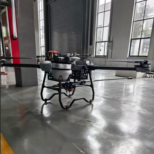
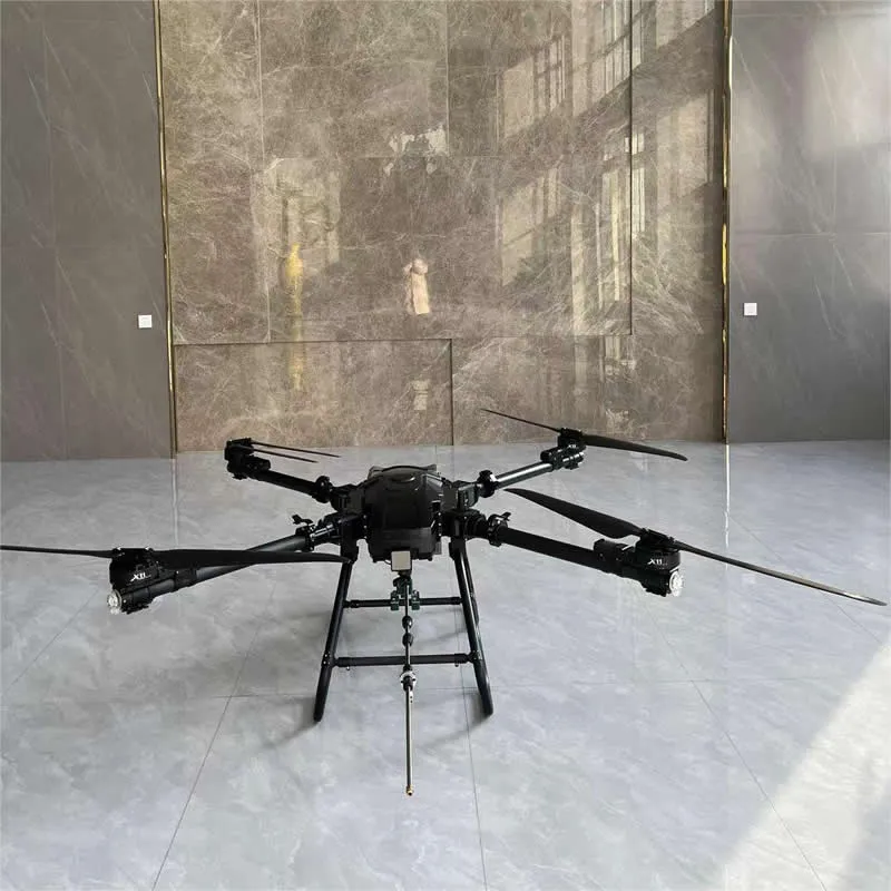
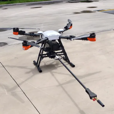
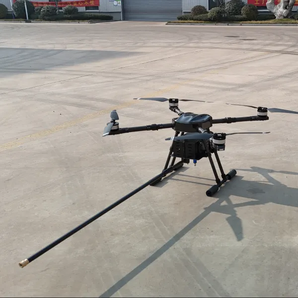
What the aircraft does. Rongyixin's inspection UAV flies the corridor itself. RTK-guided waypoint routes place the aircraft at a repeatable position beside each tower; it captures geo-tagged visual and thermal imagery in a fixed sequence, then returns. 25–40 kilometres per day°REF for a two-person crew, with no climbing and no outage°REF. The output is not a folder of photographs. It is a per-tower record with defect flags, severity grading and coordinates, ready to import into the maintenance system as work orders.
Capabilities that matter to an asset manager.
Repeatable geometry. RTK waypoint flight returns to the same standoff position and camera angle on every inspection cycle. The image taken this year can be laid directly over last year's — which is what turns a photo archive into a condition trend.
Two sensors, one pass. A 30×°REF optical zoom resolves insulator sheds, broken conductor strands, corrosion and bird nests; a 640 × 512°REF thermal sensor reads joint and clamp temperatures, catching resistive heating long before it becomes a failure.
Measurement, not just imaging. Optional LiDAR supports vegetation clearance measurement, conductor sag and ground-clearance analysis — the three things that most often drive unplanned outages.
AI pre-screening. Automatic flagging of insulator damage, broken strands, foreign objects and hot spots, at roughly 85–95%°REF detection accuracy, sorting thousands of images so the engineer reviews the few that matter.
Safe near energised assets. EMI-resistant flight control and a stabilised 5–10 metre°REF standoff from conductors allow inspection of live circuits.
Structured capture. Tower-by-tower, position-by-position archiving, geo-tagged and time-stamped, enabling defensible regulatory reporting.
Reports that become work orders. Severity grading, evidence images, coordinates and export formats for the maintenance system.
A day on the circuit.
Planning. Tower coordinates and the corridor route are loaded; inspection points are set per tower type and voltage level.
Automated flight. The crew launches from a roadside point and the aircraft works the corridor, holding standoff and capturing each tower in sequence. Obstacle sensing handles the span over the river.
Triage. On return, AI pre-screens the image set and flags priority defects.
Engineering review. Two hours of desk work replaces two weeks of walking; findings are graded and scheduled.
Verification. After repair, a short confirmation flight closes the work order with a matching image.
What it means for the bottom line.
Measure | Walking / climbing patrol | Rongyixin UAV |
Coverage per day | 3–5 km°REF | 25–40 km°REF |
Cost per km inspected | baseline | −40% to −60%°REF |
Work-at-height entries | per tower | eliminated |
Outage required | often | none |
Defect detection rate | baseline | +30% to +50%°REF |
Data consistency | manual, variable | standardised, geo-tagged |
Post-storm assessment | 2–3 days°REF | 6 hours°REF |
Where it fits. Transmission lines 110 kV and above°REF · distribution networks and substations · railway catenary · oil, gas and pipeline corridors · wind-farm collector lines · mountainous, wetland and river-crossing spans · post-storm, post-flood and post-earthquake damage assessment.
Getting started. Send us voltage level, corridor length, tower count and terrain profile. We will return a coverage model, a sensor recommendation (visual, thermal, LiDAR), and a cost-per-kilometre comparison against your current patrol method.
Reference specification (confirm before publishing): Coverage per day 25–40 km · Optical zoom 30× · Thermal sensor 640 × 512 · Optional payload LiDAR for clearance and sag analysis · AI detection accuracy 85–95% · Conductor standoff 5–10 m · Guidance RTK waypoint corridor flight · EMI resistance rated for live-line environment · Output geo-tagged defect list with severity grading.
related products