English
 لالعربية
Firefighting UAV
Firefighting UAV
02:14, and nobody knows what is burning. A distribution centre is venting heavy smoke from the north elevation. The first-due commander has four minutes°REF on scene, a thermal image of a wall, and three decisions to make: where the seat of the fire is, whether the roof structure is involved, and whether to commit crews to the interior. Everything after this point is expensive. Interior crews enter a building nobody has seen the back of. An aerial ladder covers 30–50 metres°REF — roughly ten to sixteen floors — and this structure has loading bays on the far side that no ladder will reach. A helicopter could give the overhead view, but mobilisation runs 30–60 minutes°REF and costs thousands per flight hour°REF. The gap between arrival and understanding is where property is lost and firefighters are hurt. A Rongyixin firefighting UAV closes it in the time it takes to unpack it.
Where conventional response runs out of options.
Smoke removes the picture. Thermal imaging from the ground reads a surface temperature, not a floor plan. Nobody can see the fire travelling through a void space or a conveyor opening.
Height beats the ladder. Modern logistics buildings, high-rise residential and industrial plant routinely exceed the practical reach of ground appliances.
The hazard zone is entered before it is understood. Petrochemical tanks, chemical stores, structures with suspected collapse risk — crews go in on inference.
Wildfire behaves worst at night. Spot fires jump lines invisibly; crews on the ground cannot see the flank that matters.
Helicopters are scarce and slow. Excellent when available, impractical for the first ten minutes of every structure fire.
Stand-down hides re-ignition. A façade or a void that is still hot at hour four becomes a second call at hour nine.
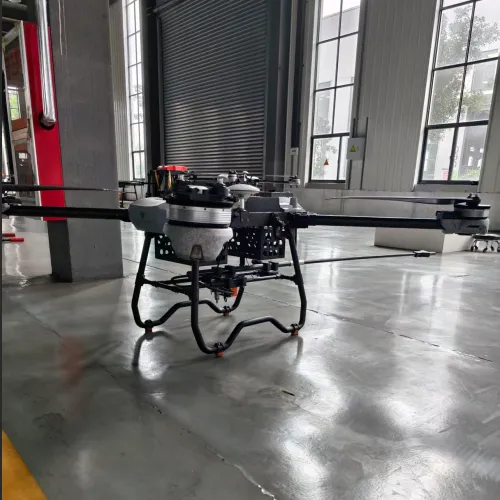
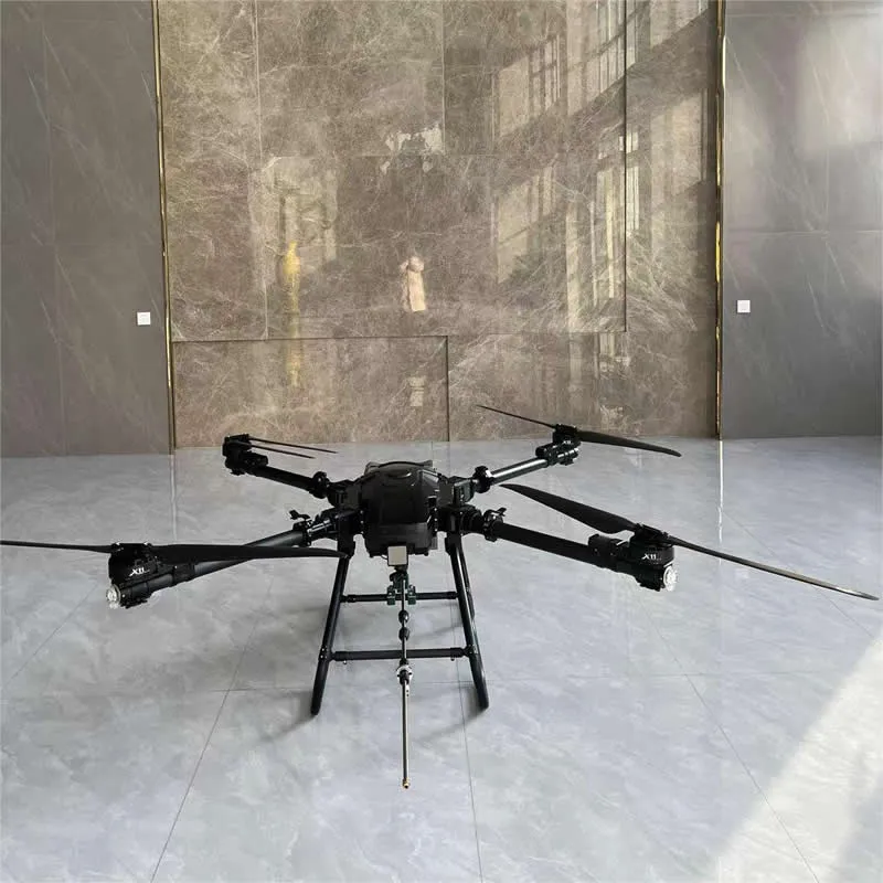
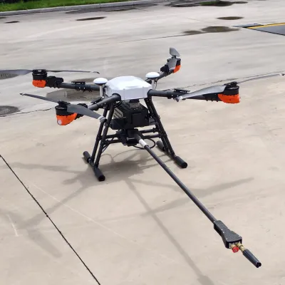
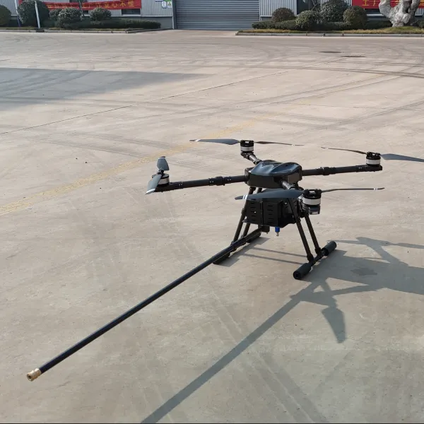
What the aircraft does. One operator carries a case to the perimeter and is airborne within three minutes°REF. The UAV climbs to a safe standoff, and within the first pass the commander is looking at a live thermal picture of the roof, the seat of the fire, and the heat signature of the structure's far side. Video streams to the command vehicle and onwards to headquarters. When the mission calls for intervention rather than observation, the same platform carries a suppression payload: 25–50 kg°REF of extinguishing agent, delivered as a drop, a burst, or a targeted hose feed at heights and angles no ground appliance can reach.
Capabilities that matter at an incident.
See heat, not just smoke. A dual-sensor gimbal pairs a 640 × 512°REF thermal core with a 30×°REF optical zoom, so a hot spot reads as a temperature and a location. A 1,000 m°REF laser rangefinder gives distance, height and drop geometry.
Built to survive the environment. The airframe and avionics are qualified for short-duration operation in ambient temperatures up to 150 °C°REF at a safe standoff — the difference between a platform that works near a fire and one that retreats from it.
Reach that exceeds the ladder. Operating ceiling and hose-feed capability cover structures up to 100 metres°REF, roughly the 25th to 30th floor°REF, plus the far-side and courtyard elevations that ground appliances never see.
Payload options matched to the fuel. Extinguishing bomb, dry powder, foam, or hosepipe feed — selected per incident type, from vehicle fires to tank-farm rim fires.
Picture delivered where decisions are made. An encrypted 10–15 km°REF link feeds the command vehicle and relays to headquarters and mobile devices. The officer in charge and the duty commander see the same frame.
Works in the dark. Thermal imaging, a high-output searchlight, and a loudspeaker for evacuation guidance on wildfire perimeters and at night operations.
Stays on station. 30–40 minutes°REF per battery set with hot-swap, and multi-aircraft relay for extended incidents.
An incident, minute by minute.
T+0 to T+3 — Launch. One operator deploys from the vehicle; pre-flight is automated.
T+3 to T+6 — Perimeter reconnaissance. A thermal orbit establishes roof condition, fire location, spread direction and exposures.
T+6 to T+10 — Decision support. The commander sees the far elevation, identifies an unburnt separation, and redirects crews from the north entrance to the west.
T+10 to T+30 — Intervention. With the priority sector confirmed, the payload is committed — a targeted drop onto the roof void, or hose feed onto a façade.
Overwatch and mop-up. The aircraft stays up through overhaul, then flies a final thermal pass to confirm no residual hot spots before stand-down.
What it means on the balance sheet.
Measure | Conventional response | Rongyixin UAV |
Time to situational picture | 15–25 min°REF | 3–5 min°REF |
Crew exposure in hazard zone | direct entry | −60% to −80%°REF |
Effective vertical reach | 30–50 m°REF | 100 m°REF |
Mobilisation cost per call | helicopter baseline | −70%°REF |
Hot-spot search during overhaul | 45 min°REF | 10 min°REF |
Re-ignition after stand-down | ≈20%°REF | ≈5%°REF |
Where it fits. High-rise residential and commercial structures · petrochemical plants and tank farms · warehouses and logistics centres · forest, grassland and wildland-urban interface fires · tunnels and underground facilities (configuration-dependent) · port and maritime incidents · search and rescue and hazardous-material assessment.
Getting started. Tell us your response profile — structure types, typical incident mix, and whether you need observation, intervention, or both. We will specify the payload package, the deployment case, and an operator training plan.
Reference specification (confirm before publishing): Deployment time ≈3 min, single operator · Thermal sensor 640 × 512 · Optical zoom 30× · Laser rangefinder 1,000 m · Heat tolerance short-duration ambient up to 150 °C · Suppression payload 25–50 kg (bomb / powder / foam / hose) · Effective height up to 100 m · Video link 10–15 km, encrypted · Endurance 30–40 min per battery set.
related products