English
 لالعربية
Six Major Applications of UAV Remote Sensing Technology in Smart Agriculture
release time:
2026-09-18
The drone-based aerial spraying service is currently in full swing, with pestici
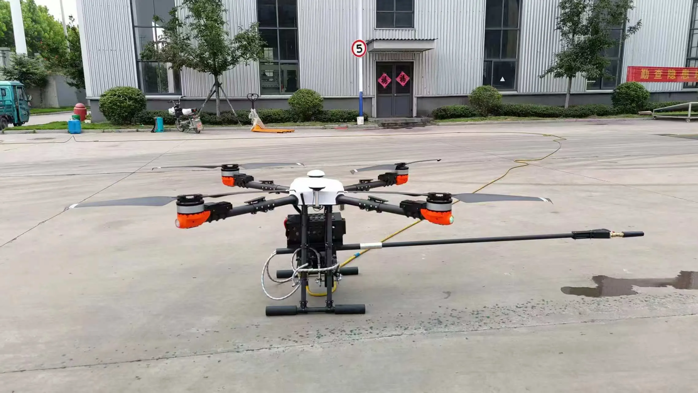
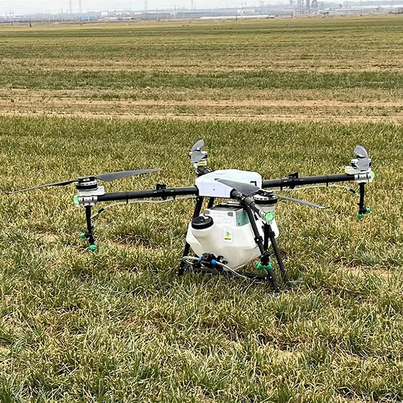
The drone-based aerial spraying service is currently in full swing, with pesticide-carrying drones widely recognized. However, another potential application of agricultural drones cannot be overlooked—agricultural remote sensing. Remote sensing is considered another potential market for agricultural drones, and with the rapid advancement of precision agriculture, it represents a vast future for these drones. So, what exactly can drone remote sensing contribute to agriculture? Now, let’s briefly explore the application value of drone remote sensing.
Improvements in Field Monitoring
The use of drones to monitor the basic situation of farmland is a significant improvement in field monitoring methods, and it is also the main driving force for the application of drone technology. Traditionally, farmers check the condition of their crops by walking through the fields. This job is both hot and time-consuming, and it is difficult to check the condition of each crop, even if it is a small field, it is easy to miss the areas where problems occur. With the application of drones in agriculture, crop monitoring now only requires the use of unmanned aerial vehicles to collect near-infrared images of the entire farmland, upload the images to cloud data processing servers, and within a few hours, receive maps showing the relative condition of crops. Now using crop monitoring, specific areas that need to be evaluated can be identified without leaving home. And with these data, we can develop suitable plant protection plans based on actual situations, which will make the operation efficiency more efficient and the operation effect will be improved to a higher level.
Monitoring pests and diseases
Diseases and pests are direct factors affecting crop yields and are one of the major agricultural disasters in countries around the world. Large scale pests and diseases can cause significant losses to agricultural production and the national economy. According to the Food and Agriculture Organization of the United Nations, the loss of world food production caused by pests and diseases accounts for more than 20% of the total food production. Using remote sensing monitoring technology to track the progress of pests and diseases is beneficial for carrying out precise management work, achieving timely detection and treatment, and also facilitating early prevention and control. The principle is that pests and diseases can cause changes in the cellular structure, pigments, water content, nitrogen elements, and other properties of crop leaves, resulting in changes in the reflectance spectrum. Therefore, the reflectance spectrum of pest and disease crops is significantly different from that of normal crops in the visible to thermal infrared band. It is not uncommon to use drones for remote sensing monitoring in the United States, Australia, and other places. For example, in the United States, farmers use drones to monitor the situation of wheat rust, which clearly shows where the hardest hit areas are. Some people also use drones to check for dodder in alfalfa fields (a malignant parasitic weed that mainly parasitizes leguminous crops such as alfalfa. Alfalfa growth is vulnerable to the serious harm of the malignant weed dodder, often causing alfalfa plants to die in large patches), so as to achieve early prevention before large-scale disasters occur.
Statistical analysis of plant quantity and survival rate
Another use of drone remote sensing surveying is to count the number of plants. Compared to manual counting that is time-consuming and can only be sampled, drone statistics are more comprehensive and accurate. According to reports, in June 2016, cloud based drone software and mapping solution provider Drone Deploy, agricultural cooperative analysis company Aglytix, and agricultural technology company AgriSens collaborated to provide growth analysis tools for crops, analyzing whether the current crop is at the optimal growth distance through crop quantity statistics and crop land area. In the 2016 plant growing season, a private farm in northern California hired a third-party company to transplant tens of thousands of tomato plants onto 74 acres of farmland. In order to avoid the company not strictly charging according to the number of transplants, private farm workers quickly achieved quantity statistics using AgriSens's drone application software. In addition, users can also use the hardware and software technology of drone remote sensing surveying to analyze the seedling rate of newly cultivated plants and determine the replanting plan.
Analyze soil properties
Nowadays, the world's major agricultural modernization countries are advocating precision agriculture. They require adjusting the element input of crops in the process of crop growth according to the soil properties, achieving the highest output with the lowest input, efficiently using various agricultural resources, improving the environment, and achieving better economic and environmental benefits. As an aerial monitoring technology, agricultural remote sensing is a favorable means to promote the precision of agriculture. Agricultural remote sensing monitoring mainly focuses on crops and soil. In the visible near infrared spectral band, the reflectivity of crops is mainly affected by crop pigments, cell structure, and moisture content. Especially in the visible red spectral band, there is a strong absorption band, and in the near-infrared spectral band, there is a strong reflection characteristic. It can be used for monitoring crop growth, crop quality, crop pests and diseases, and other aspects. The overall reflectance of soil visible near infrared spectra is relatively low, and in the visible spectral band, it is mainly influenced by coloring components such as soil organic matter and iron oxide. Therefore, the inherent reflectance spectral characteristics of soil, crops, and other land features are the basis of agricultural remote sensing.
In precision agriculture, there is an important concept called normalized vegetation index. According to professional interpretation, normalized vegetation index is one of the important parameters reflecting crop growth and nutritional information. The calculation method is the sum of the difference between the reflectance values of near-infrared and red light bands. Normalized vegetation index can provide reference for improving crop health, such as telling you whether additional fertilization is needed in farmland.
Assessment of crop damage after natural disasters
The entire growth and development process of crops is closely related to meteorology. Climate change and catastrophic weather directly affect food production and farmers' income, and affect the stable and rapid development of agriculture. After inevitable natural disasters occur, remote sensing technology can be used to assess the damage caused by storms and freezing disasters. After crops are subjected to freezing damage, the chlorophyll activity in their bodies will weaken, and the sensitivity to near-infrared and red light will decrease, leading to changes in vegetation indices. Therefore, the analysis of differences in vegetation indices is mainly based on the difference in vegetation indices before and after the disaster to determine the extent of the disaster. In storm disasters, research has shown that vegetation reflection in the visible light band is enhanced and the near-infrared band is weakened after flooding. The combination of near-infrared and thermal bands can identify waterlogged and healthy cereal crops. In a strong wind and heavy rainfall event in Illinois, 105 acres (613 acres) of grain in the central region of the state suffered varying degrees of damage. Overhead Ag, a drone service company, uses drone technology to generate post disaster assessment reports, detailing areas of minor, moderate, and severe damage, and calculating their respective areas and proportions, allowing farmers to intuitively understand the post disaster losses.
Overview of Terraced Fields
Terraced fields are terraced farmland constructed in sections along contour lines on sloping land, which is an important measure for soil and water conservation and has the functions of water, soil, and fertilizer retention. As a measure for the management of sloping farmland, the construction of terraced fields can change the small terrain of the slope by slowing down the terrain slope and shortening the slope length, thereby effectively controlling soil erosion in sloping farmland. Therefore, timely acquisition of dynamic indicators of terraced fields can provide scientific basis for evaluating the effectiveness of terraced field construction, preventing soil erosion, and rational utilization of water and soil resources. The use of high-resolution images generated by remote sensing technology for soil and water conservation detection is beneficial for extracting more detailed soil and water conservation measures. By using drones to generate elevation maps, the overall layout of the terraced fields can be visually observed, making it easier for terraced field managers to excavate and fill as needed, and to promptly rectify the terraced fields and drainage systems. In fact, satellite remote sensing has been developed for a long time, but satellites are susceptible to weather and environmental influences, and their orbital periods are relatively long. Comparatively speaking, unmanned intelligence has stronger activity and is easier to deploy. I believe that with the further improvement of drone platforms, sensors, and software technology, drones can serve as a supplementary means to other remote sensing platforms such as satellites in the future, helping to build a more complete monitoring network in agriculture.
label:
Previous
Previous
related news